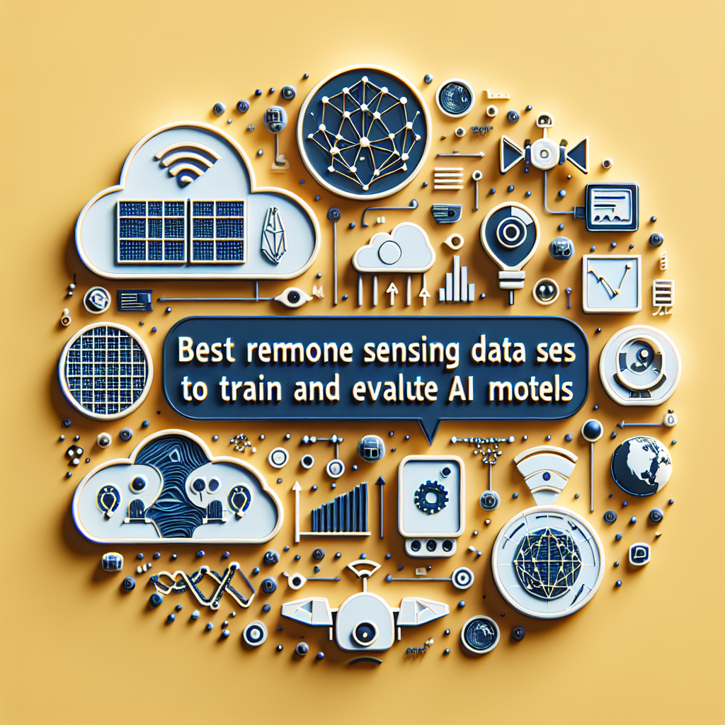
Remote sensing drives innovation in land analysis. Q2BSTUDIO, a custom software development and custom applications company specializing in artificial intelligence, cybersecurity, cloud services on AWS and Azure, and business intelligence services, presents more than 20 reference datasets for training and evaluating artificial intelligence models with hyperspectral, VHR, UAV, and SAR images
Hyperspectral images for classification and material detection: Pavia University, Indian Pines, Salinas, Houston University, Botswana, among others, offer complete spectra that improve the accuracy of deep learning models
Very high resolution (VHR) images for urban segmentation and cadastral mapping: WorldView2, GeoEye, QuickBird, IKONOS, and PlanetScope allow distinguishing architectural details and surface features with extreme sharpness
UAV aerial scenes for object detection and agricultural monitoring: drones with multispectral cameras and lidar facilitate the creation of 3D models and crop health maps in precision farming and infrastructure management projects
SAR radar data for surveillance and change analysis: Sentinel1, TerraSARX, RADARSAT, Phased Array offers cloud penetration capability and adverse weather conditions, ideal for detecting deformations and tracking natural disasters
At Q2BSTUDIO we develop custom software, artificial intelligence solutions, AI agents, and dashboards with Power BI, ensuring cybersecurity and scalability in AWS and Azure cloud services, as well as business intelligence and AI services for companies that need to innovate with cutting-edge technology